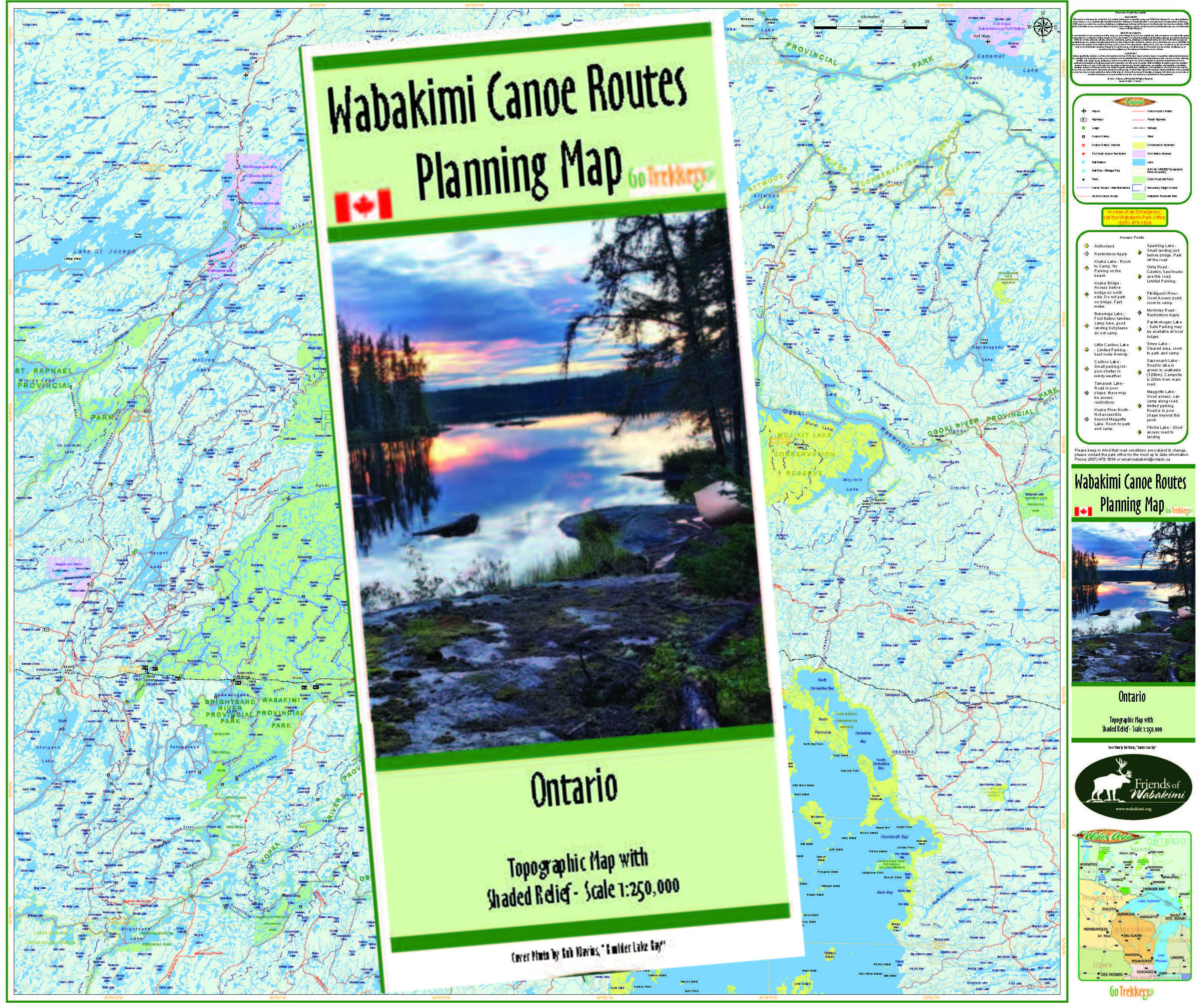
205 Fitchie to Pashkokogan Lake (Hwy 599) or Osnaburgh Lake (Hwy 599) six choices of route
Description
The Fitchie Lake access road is about 48kms north of Savant Lake on Highway 599. From Fitchie there are five possible routes to Pashkokogan Lake, which is also accessible to Highway 599:
- McCrae Creek (Fitchie, Jabez & McCrae Lakes - maps 1, 3, 4, 9)
- Savant River ( Savant & McCrae Lakes - maps 1, 3, 5, 9)
- Little Savant River (Little Savant , Velos & McCrae Lakes - maps1. 3, 6, 5,9)
- Little Savant River (Little Savant , Velos, Redmond, Davies- maps 1,3,6, 7, 8, 9)
- Pashkokogan River (via Hamilton Lake - maps 1, 2, 7)
- Little Pashkokogan River (maps 1, 2, 7)
Four of the routes take you east through a series of smaller lakes to the North Arm of Savant Lake. continuing north through McCrae to Pashkokogan Lake. This is six day 98km canoe route.
The Pashkokogan River routes proceed more directly north through Hamilton or Minchin Lakes to Pashkokogan Lake.
There is an option to extend the routes beyond Pashkokogan Lake, by continuing north on the Pashkokogan River to Lake Osnaburgh, the headwaters of the Albany River and exit onto Highway 599. (map pages 8 and 9). Adding perhaps 2 days and 35kms
Please Note:
These routes are outside of the Wabakimi Park boundaries and travel over Crown Lands, where portage trails are not maintained by Park crews but are maintained by the users. So please help where you can.
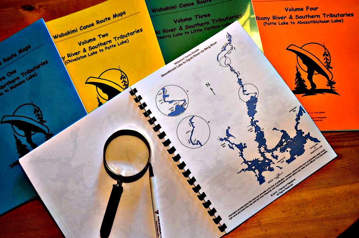
HELP US KEEP THE MAPS UP TO DATE
We want to ensure that each client receives a completely up to date map set, so maintaining the canoe route maps for the region is a continuing project for us. We gladly invite your comments and input on the route should you notice any changes or experience any differences. Email: info@wabakimi.org

.jpg)



_Page_01.jpg)






.jpg)
