305 Ogoki River from Savant Lake to the Ogoki Reservoir with an exit South on the Little Jackfish River
Description
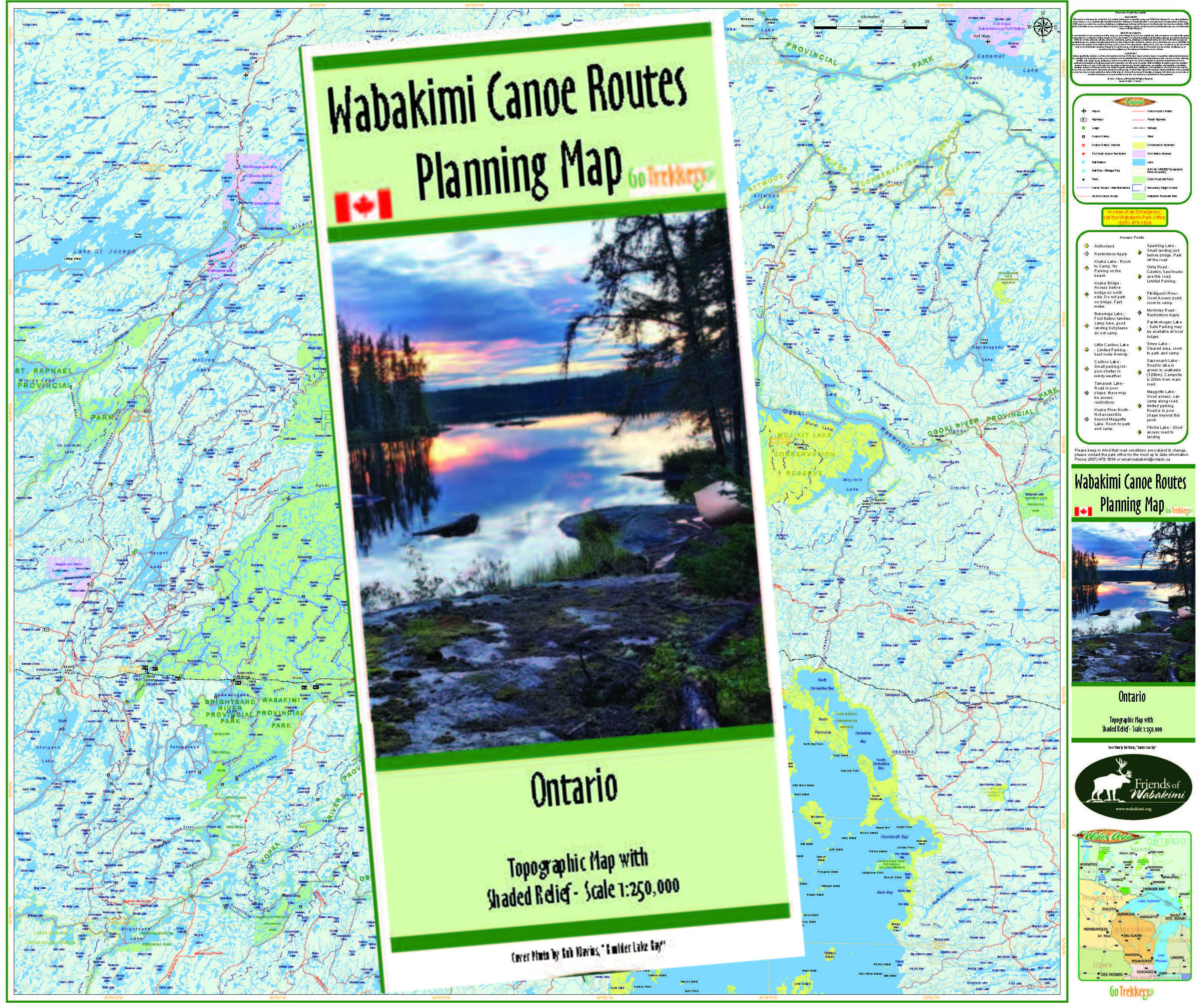
This 15 map route set shows the Ogoki River from its start at Savant Lake all the way west to the Ogoki Reservoir and south through Mojikit Lake, Zig-zag Lake and Little Jackfish River flowing into Lake Nipigon.
The early section of the route from Savant or Endogoki Lake to Tew Lake shows a number of traditional portages which no longer appear evident. See https://albinger.me/2021/11/02/paddling-the-ogoki-headwaters-days-1-and-2/
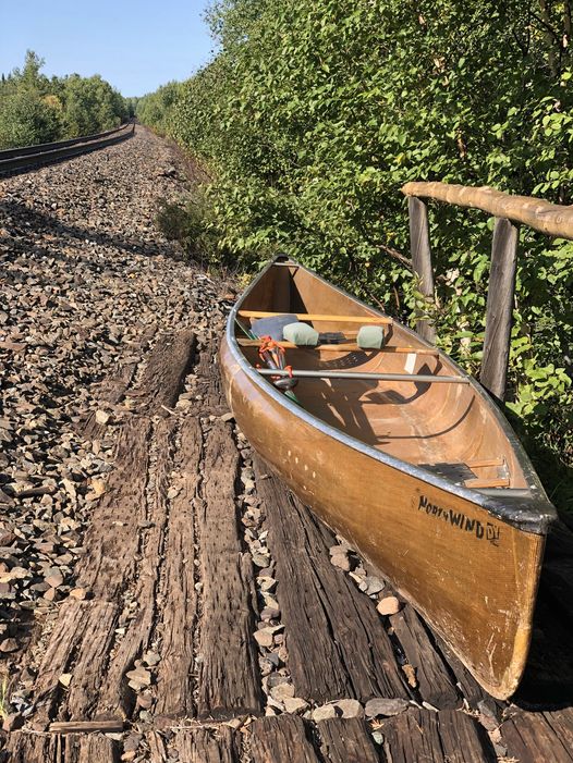
For those paddling the less travelled Little Jackfish, the normal take-out would be the Airport Road, from where a pre-arranged shuttle would pick you up. Although the river has been paddled down to the rail line and even into Lake Nipigon for a float plane pick-up. See https://albinger.me/2021/10/25/paddlingdown-the-little-jackfish-river-to-zigzag-lake/#road
The flow of the Little Jackfish is regulated by the Summit Control Dam at the SE corner of Mojikit Lake. Flow rates can and do vary dramatically as periodic releases occur. So don’t enter the Little Jackfish River without having previously made appropriate arrangements with Ontario Power Generation. Check water levels at: http://www.opg.com/generating-power/hydro/northwest-ontario/river-systems/pages/nipigon-river.
Please Note:
Sections of this route outside of the Wabakimi Park boundaries are over Crown Lands or a 'Non-operating' Provincial Park, where portage trails are not maintained by Park crews but are maintained by the users. So please help where you can.
HELP US KEEP THE MAPS UP TO DATE
We want to ensure that each client receives a completely up to date map set, so maintaining the canoe route maps for the region is a continuing project for us. We gladly invite your comments and input on the route should you notice any changes or experience any differences.



.jpg)





_Page_01.jpg)







.jpg)
