Volume One, Wabakimi Canoe Route Maps - PDF DOWNLOAD
Description
Volumes One is now available in PDF DOWNLOAD ONLY. Due to high printing costs, printed volumes are being phased out.
Upon purchase you'll receive the download link and password to open the file. Please do pdf downloads as a separate order from any printed or physical items we have to send to you.
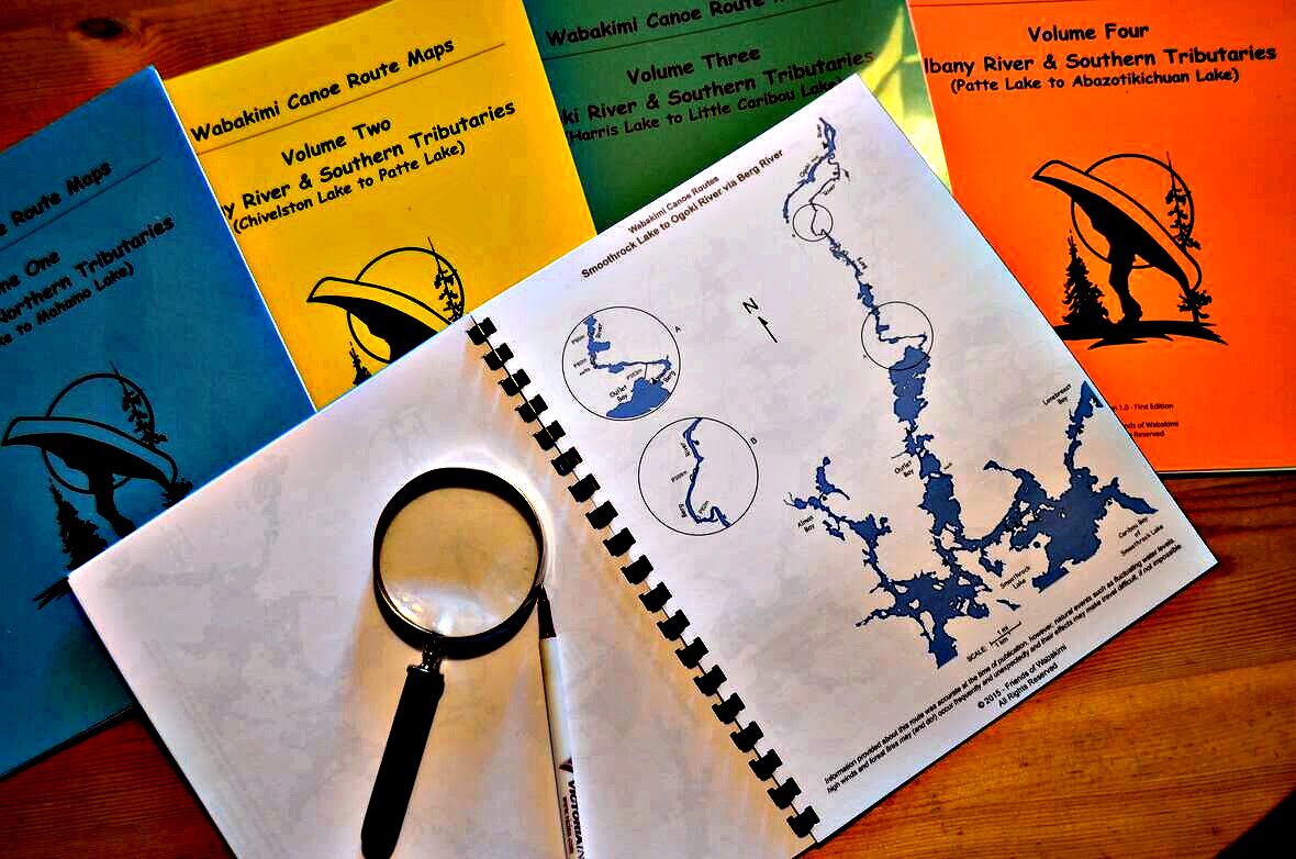
Wabakimi Canoe Route Maps - Volume One
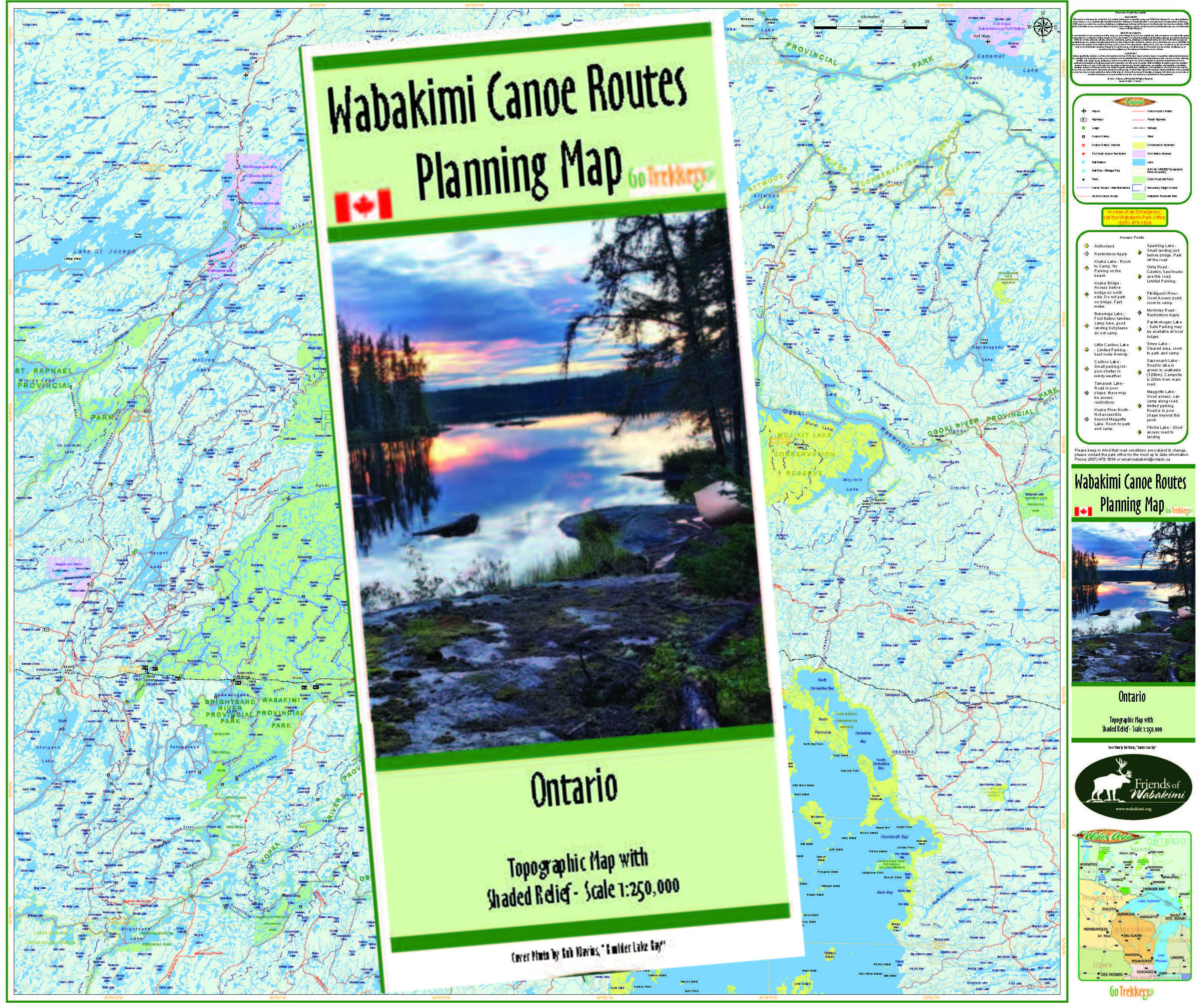
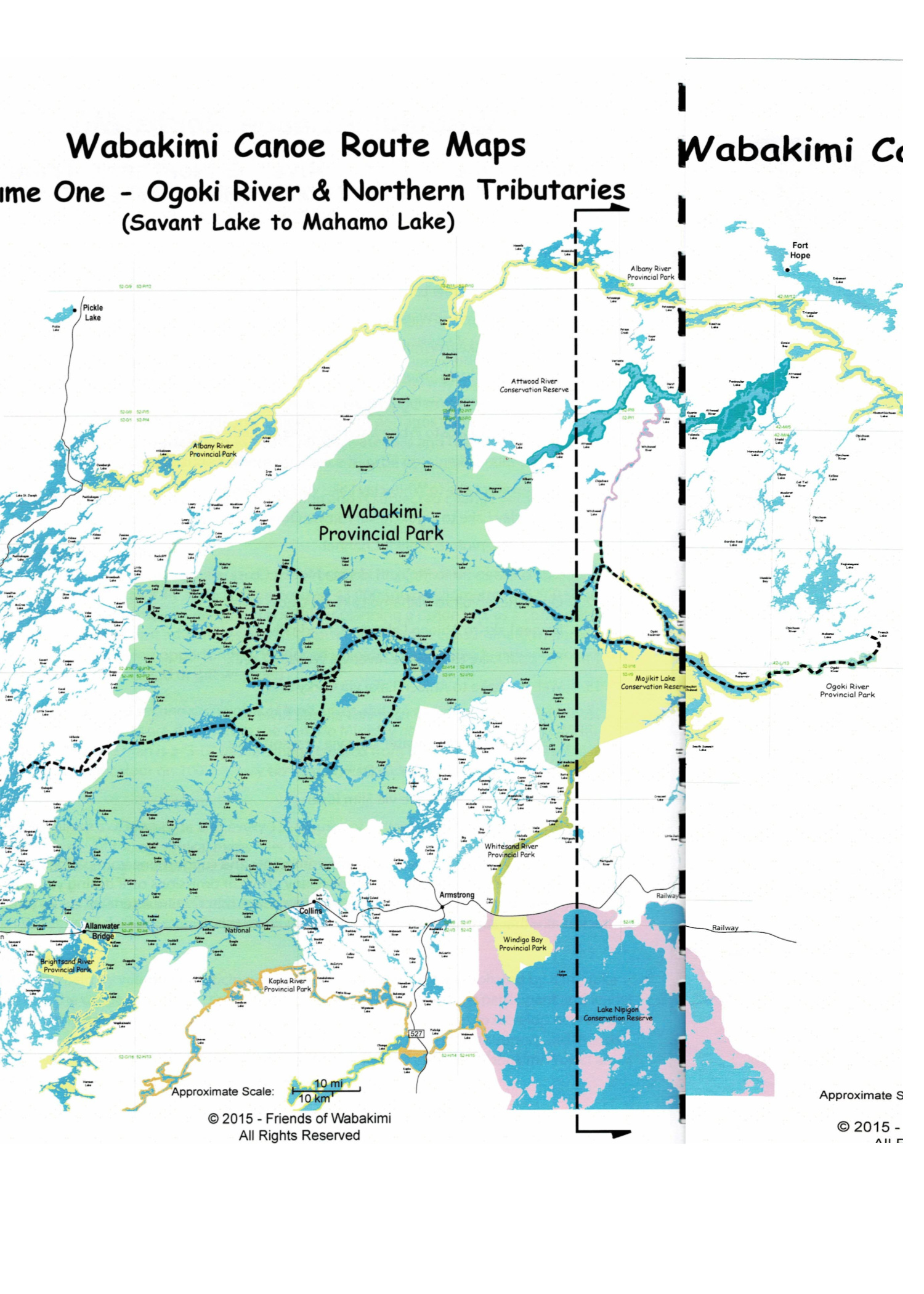
This is the first of a series of planned booklets of canoe route maps that will eventually cover the entire Wabakimi Area. It contains 19 maps that cover the Ogoki River and its northern tributaries. Most of these routes are with Wabakimi Provincial Park, of which some are maintained by Park Rangers and also receive use from greater numbers of paddlers.
The coverage area extends from Savant Lake east to Mahamo Lake just north of the Ogoki River downstream from the Ogoki Reservoir. The northern tributaries of the Ogoki River contained in this booklet include the Palisade River, Webster Creek, Corky Creek, Slim River, Dawn Creek and Grayson River. The Wabakimi Project produced these maps between 2004 & 2006.
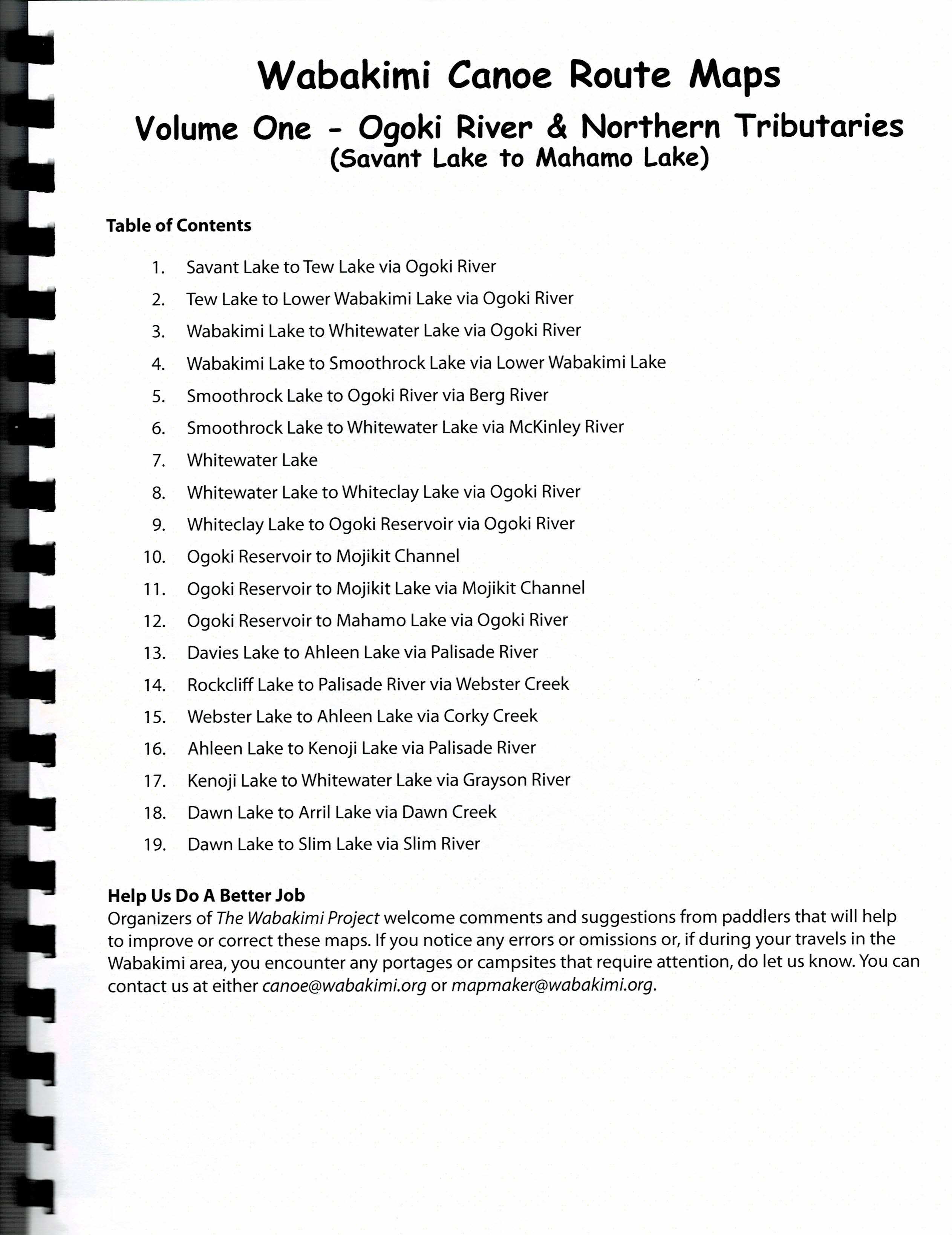
Volume One, Wabakimi Canoe Route Maps
1. Savant Lake to Tew Lake via Ogoki River
2. Tew Lake to Lower Wabakimi Lake via Ogoki River
3. Wabakimi Lake to Whitewater Lake via Ogoki River
4. Wabakimi Lake to Smoothrock Lake via Lower Wabakimi Lake
5. Smoothrock Lake to Ogoki River via Berg River
6. Smoothrock Lake to Whitewater Lake via McKinley River
7. Whitewater Lake
8. Whitewater Lake to Whiteclay Lake via Ogoki River
9. Whiteclay Lake to Ogoki Reservoir via Ogoki River
10. Ogoki Reservoir to Mojikit Channel
11. Ogoki Reservoir to Mojikit Lake via Mojikit Channel
12. Ogoki Reservoir to Mahamo Lake via Ogoki River
13. Davies Lake to Ahleen Lake via Palisade River
14. Rockcliff Lake to Palisade River via Webster Creek
15. Webster Lake to Ahleen Lake via Corky Creek
16. Ahleen Lake to Kenoji Lake via Palisade River
17. Kenoji Lake to Whitewater Lake via Grayson River
18. Dawn Lake to Arril Lake via Dawn Creek
19. Dawn Lake to Slim Lake via Slim River

.jpg)



_Page_01.jpg)






.jpg)
