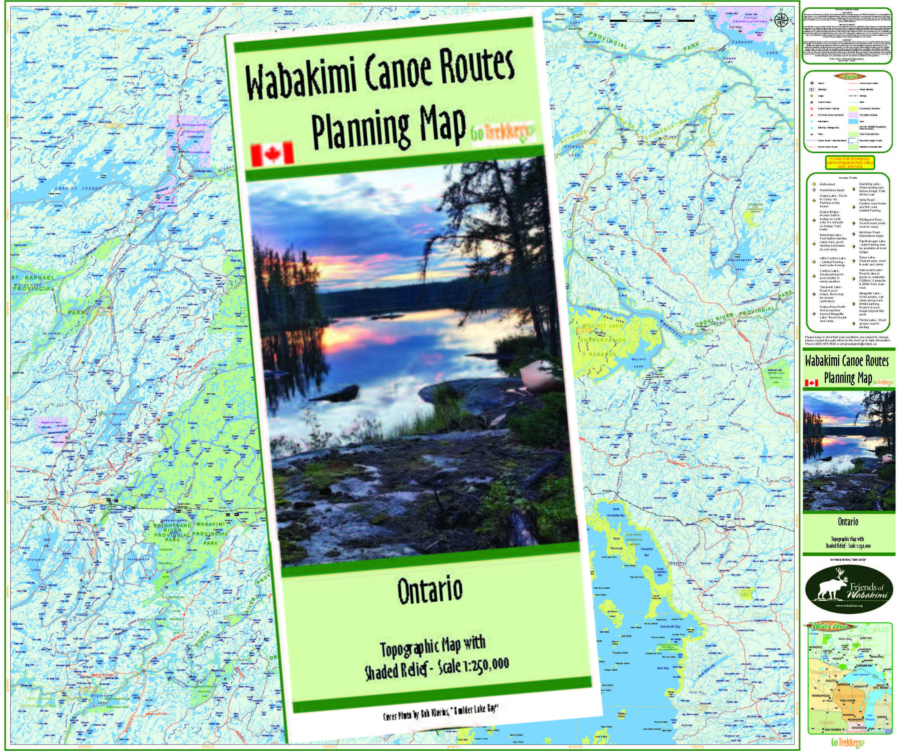
Volume Two, Wabakimi Canoe Route Maps (Caribou Forest and Albany River P.P.)
Description
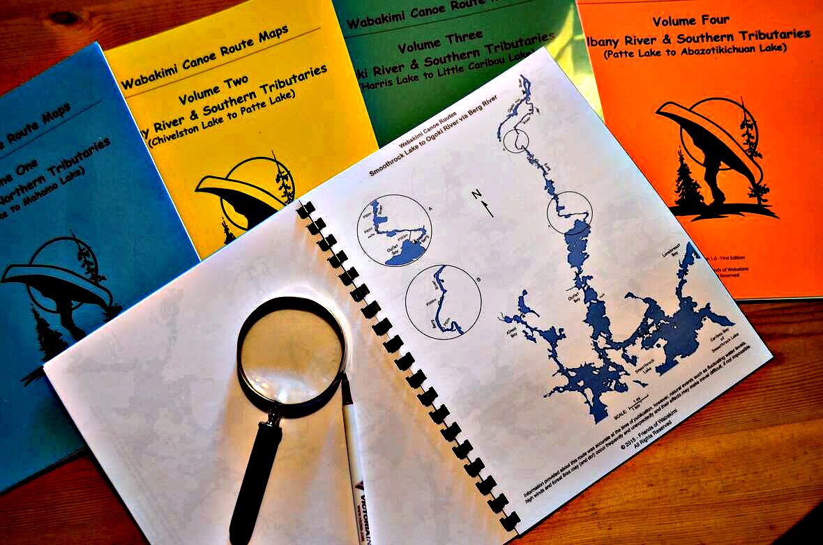
These canoe route maps that cover most of the entire West Wabakimi Area also known as the Caribou Forest. (Please do pdf downloads as a separate order from any maps we have to send to you.)
Volume Two contains 26 maps also cover the upper Albany River and its southern tributaries. This is the result of The Wabakimi Project expeditions 2007 to 2009.
Volume Two, Wabakimi Canoe Route Maps
1. Chivelston Lake to Savant Lake via Harold Lake
2. Smye Lake to Savant Lake via Jutten Lake
3. Smye Lake to Savant Lake via Kneehigh Lake
4. Virginian Lake to Savant Lake via Virginian Creek
5. Savant Lake South
6. Savant Lake North
7. Savant Lake to Velos Lake via Savant River
8. Savant Lake to Velos Lake via Little Savant River
9. Jabez Lake to McCrea Lake via McCrea Creek
10. Velos Lake to East Pashkokogan Lake via Savant River
11. Little Savant River to Davies Lake via Redmond Creek
12. Takeoff Lake to McCrea Lake via Shoe Lake
13. Fitchie Lake to Savant Lake via Neverfreeze Creek
14. Fitchie Lake to Minchin Lake via Little Pashkokogan River
15. Fitchie Lake to Minchin Lake via Pashkokogan River
16. Minchin Lake to Pashkokogan Lake via Pashkokogan River
17. Pashkokogan Lake to Osnaburgh Lake via Pashkokogan River
18. Osnaburgh Lake to Atikokiwam Lake via Albany River
19. Atikokiwam Lake to Achapi Lake via Albany River
20. Achapi Lake to Patte Lake via Albany River - Part One
21. Achapi Lake to Patte Lake via Albany River - Part Two
22. Pashkokogan Lake to Rockcliff Lake via Misehkow River
23. Rockcliff Lake to Blow Lake via Misehkow River
24. Blow Lake to Albany River via Misehkow River - Part One
25. Blow Lake to Albany River via Misehkow River - Part Two
26. Early Lake to Misehkow River via Coles Lake
You can pick up a Map Volume at one of the sports shows, or pay the shipping for delivery when checking out.
.jpg)


.jpg)



_Page_01.jpg)





.jpg)
