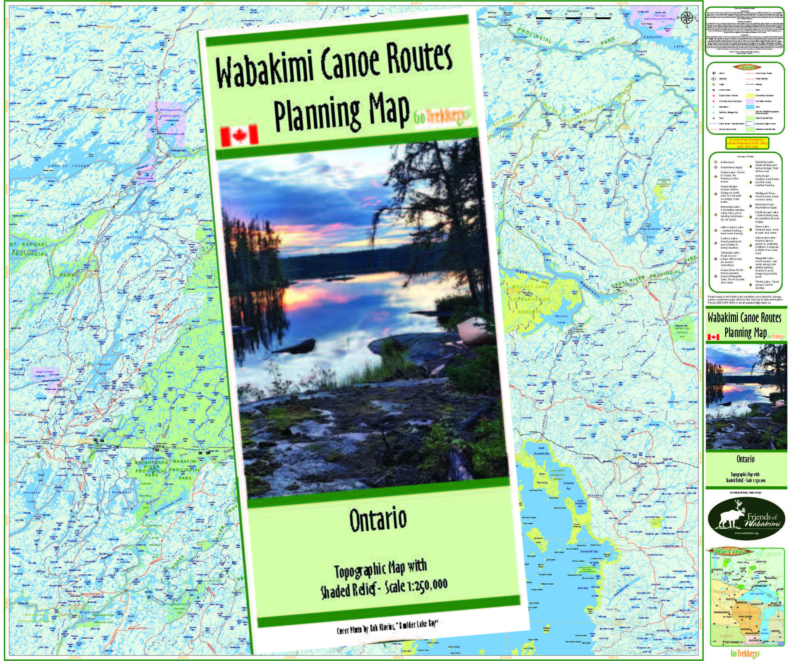
101 Allanwater River to Wabakimi Lake , Lower Wabakimi, Caribou River, Little Caribou Lake take -out, with options & Allanwater-Flindt connection
Description
Allanwater River via Brennan Lake to Wabakimi Lake , Lower Wabakimi Lake
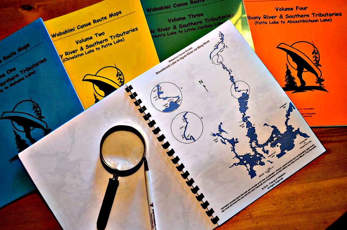
Smoothrock, Caribou River, Caribou Lake and the Little Caribou Lake take-out. (PDF download) (15 Map pages)
Armstrong is at the Northern termination of Highway 527 and is the starting point for many of the trips in this area. Although the town is extremely small, it does have a number of useful facilities: a hotel opposite the railway station, a grocery store, gas station and a couple of restaurants.
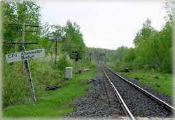
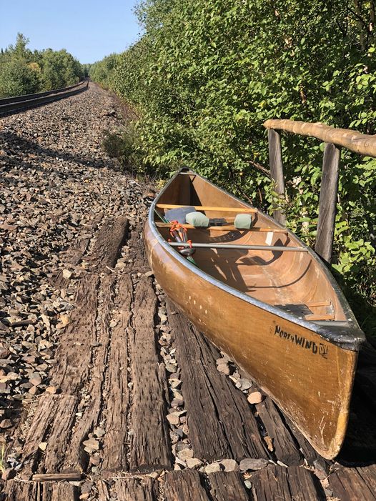
To begin the trip, take Via Rail west from Armstrong to Allanwater Bridge at mile-marker 54.6. Train reservations can be made at http://www.viarail.ca..
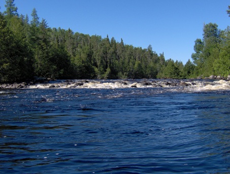
About three or four kilometres or two miles after the start, the river divides into two channels. Both east and west channels can be used and are equally interesting. It has been suggested that a little more water flows through the eastern branch, so it may be the preferable choice especially in lower water conditions.
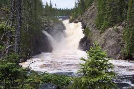
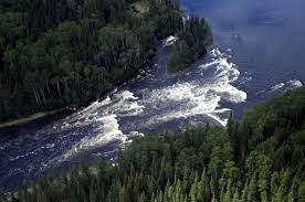
Exiting Brennan Lake at the eastern end presents 3 options. The northern route is the easiest and most direct exit with two swifts and a 110 metre portage. If you prefer to portage around Brennan Falls, (and view the falls from above) begin the loop from the north and take the two small carry-overs. The third option, a 550 metre portage to the south is longer and more difficult and so is the least desirable exit.
An Alternate Ending to this route leaves the south-east end of Granite Lake and passes through Van Ness, Cache and Onamakawash Lakes to the train stop at Schultz’s Trail, mile marker 24.7. This option will reduce the trip length by 50kms and result in a 6 day trip.
We have included a less travelled, route from Allanwater via Windfall, Dagger and Change Lakes to the West end of Brennan Lake.
Also the Allanwater/ Flindt River connection via Stump and Gault Lakes. (supplement) something to think about.
These map pages are provided as a digital download. You are encouraged to print and laminate the map pages for use when paddling.



.jpg)



_Page_01.jpg)







.jpg)
