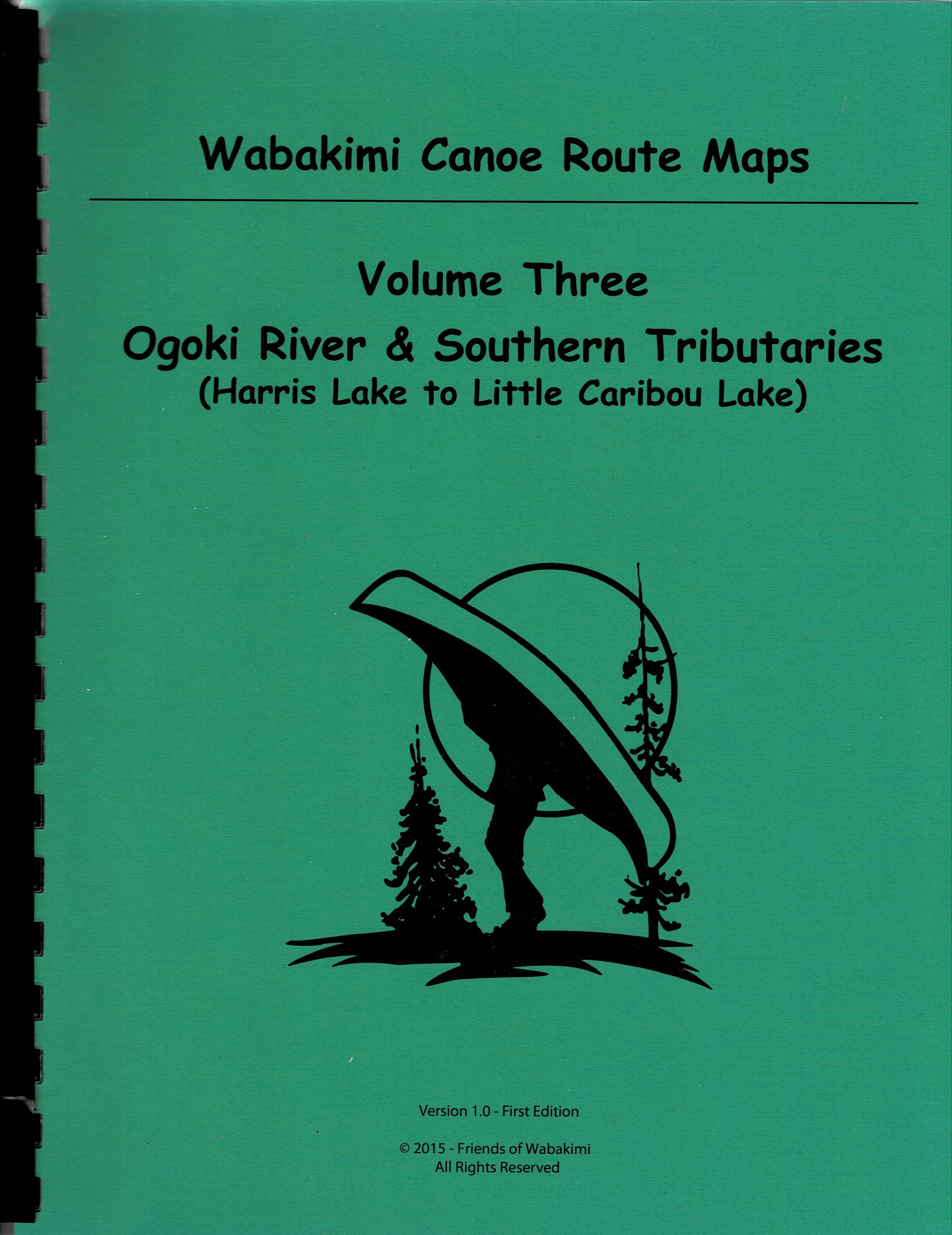
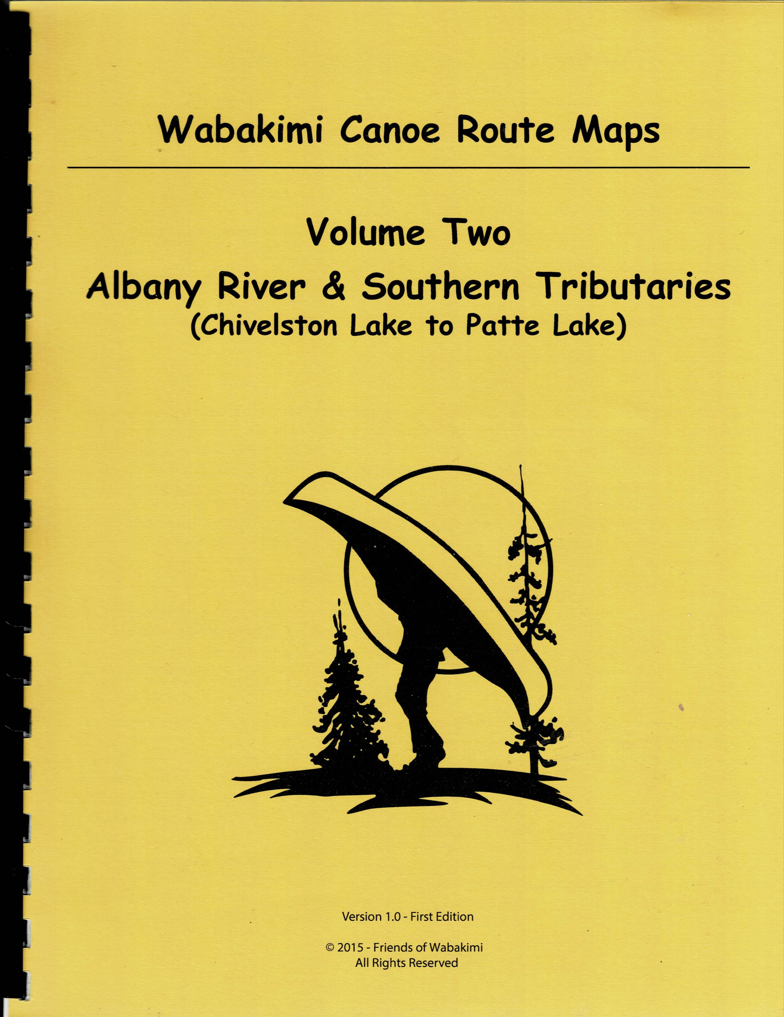
Complete Printed Set. Special price for FOW Members! Guidebook, folded Planning Map, all Five Volumes
Description
Members only package. Join Us first! https://friendsofwabakimi.wildapricot.org/Members-Page
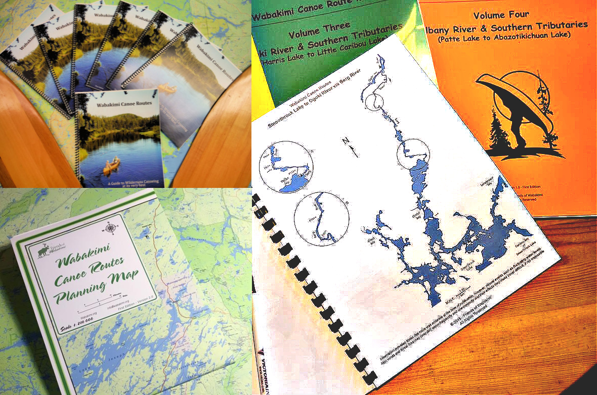
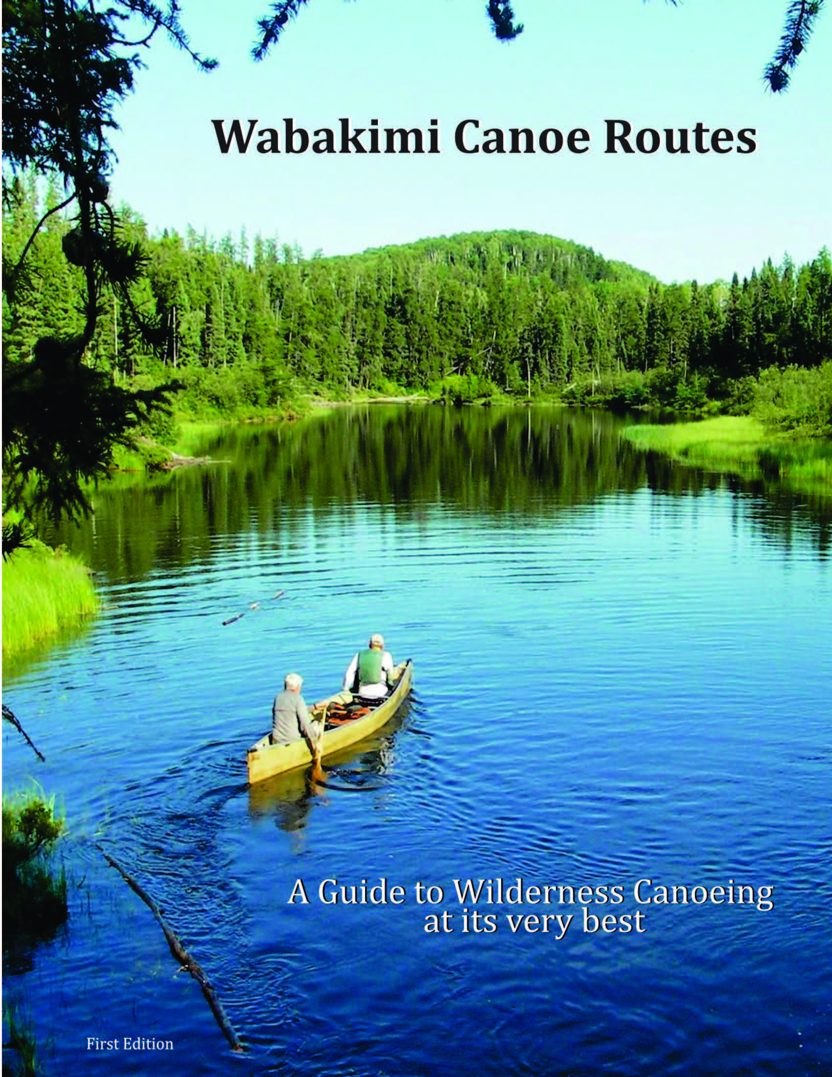
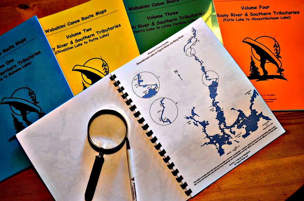
Wabakimi Canoe Routes Guidebook. Laurence Mills, an experienced Wabakimi paddler and map maker (www.wabakimimaps.com) brings his experience along with FOW’s collective knowledge to describe a variety of routes within the park and surrounding Crown Lands.
This is the first comprehensive Guidebook for Wabakimi Provincial Park and surrounding parks, conservation reserves and Crown lands!
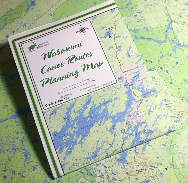
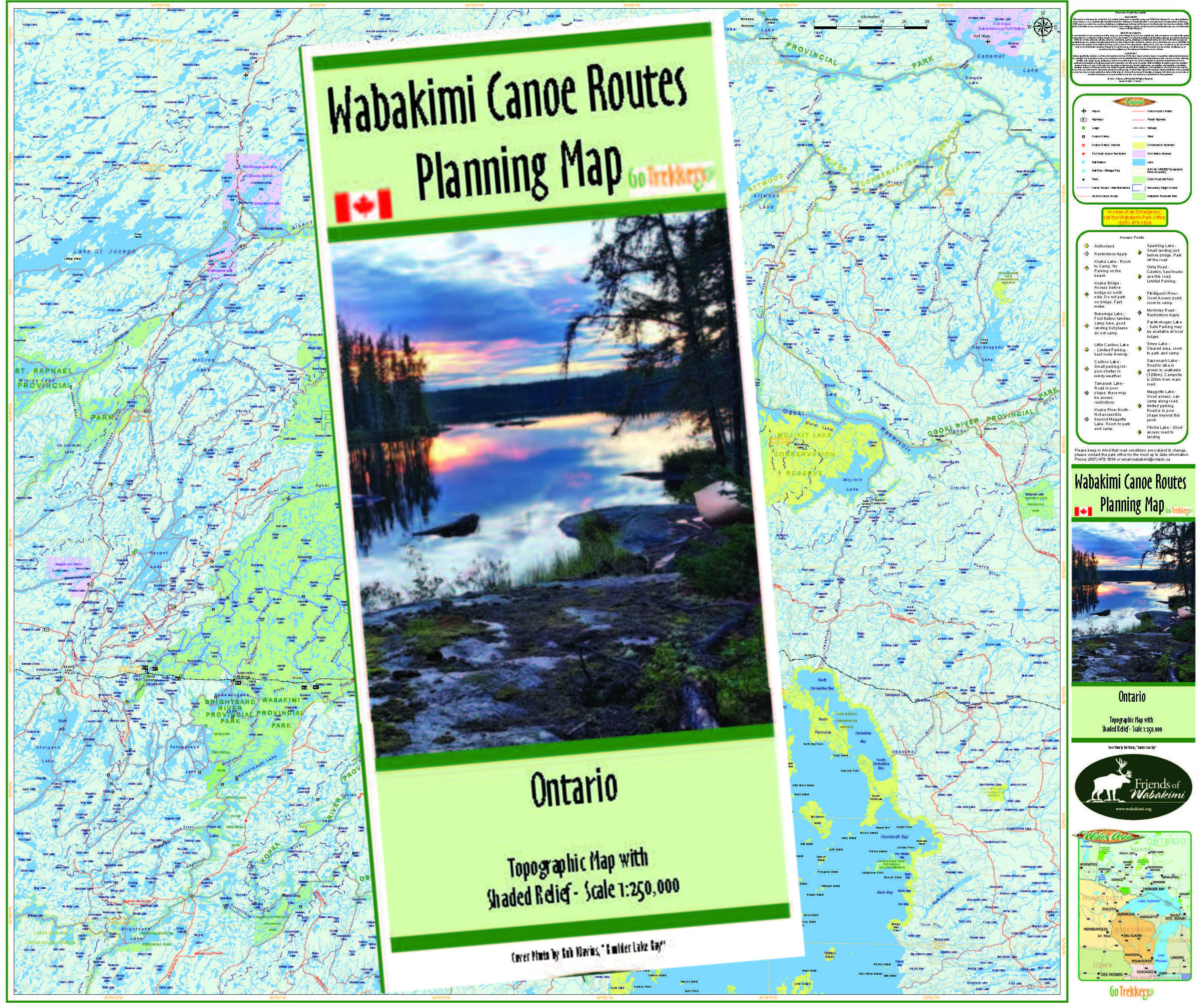
Folded Wabakimi Area Planning Map. Produced by the late "Uncle” Phil Cotton working with a professional cartographers and published by the Friends of the Wabakimi. In a readable scale of 1:210,000 this is the only map of its kind to depict all the known canoe routes in the Historic Wabakimi Area, which includes the Wabakimi Provincial Park and eight surrounding Provincial Parks.
All five detailed map volumes; the resuls of 14 years reconnaissance, portage clearing and campsite identification by The Wabakimi Project. Printed on 8.5 x11.0” high-quality paper, each canoe map depicts the locations of land-based features such as campsites and portages. Accurately measured portage lengths are expressed in meters to make them compatible with NTS 1:50,000 topo maps. A descriptive page title indicates the extent of the map coverage and direction of flow of the main intervening waterway (e.g., Davis Lake to Ahleen Lake via Palisade River). Maps are uniform in scale and each overlaps adjoining maps for seamless coverage of a canoe route. Enlargement circles provide magnified details of portages and campsites as well as the locations of known hazards or obstacles such as swifts, rapids, waterfalls and beaver dams. Locations of remote tourism establishments are included where assistance may be obtained should an emergency arise.
(Outside of U.S./Canada shipping is additional. We'll contact you with that amount.)

.png)
.jpg)

.jpg)

_Page_01.jpg)




.jpg)
